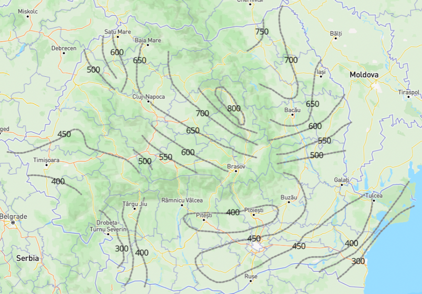
Digital Maps
Transforming physical maps for climate and freezing depths into digital assets.
Digital Value Graphs
Transforming value graphs used in the structure calculations into digital assets.
Map Representation
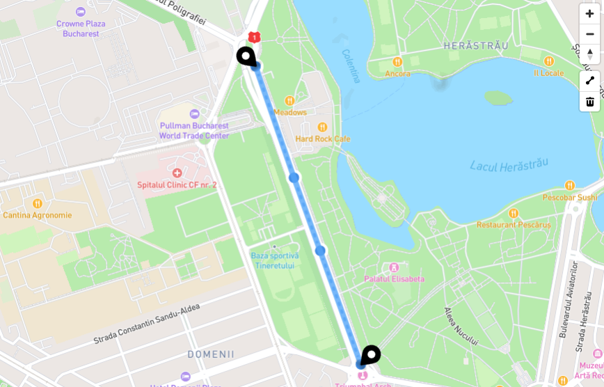
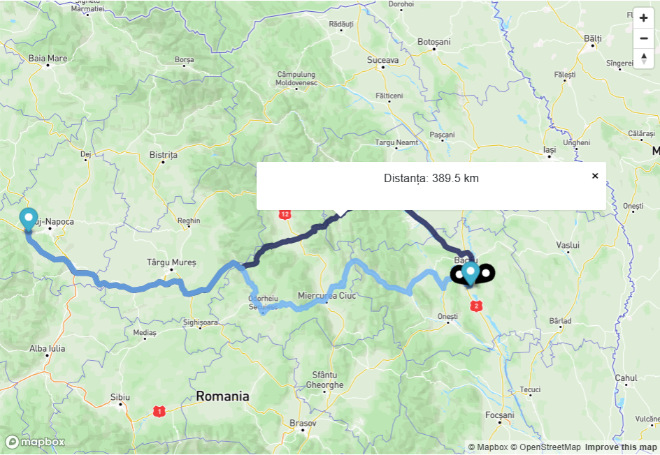
Use of maps to represent road segments that are being design in a manually or automatic manner (using GPS coordinates).
Automated Calculations
Automated calculation for road structure layers, composition, coefficients and road design verifications.
Materials Sellers
Material sellers with map location and transport route selection options relative to project location.
Cost and Emissions Estimations
Perform material and transport costs and emissions estimation calculations for each designed road segment.
Reporting
Export reports as PDF or Excel files for project structure, design verifications calculations and estimations.